NAVELO
Ride further. Worry less.
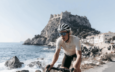
🚴 Long rides are pure freedom
But finding water, food, or shelter?
That can still be a challenge.


🏕️ A coffee ride or a multi-day adventure, Navelo keeps you moving
Without the guesswork.
Without detours.
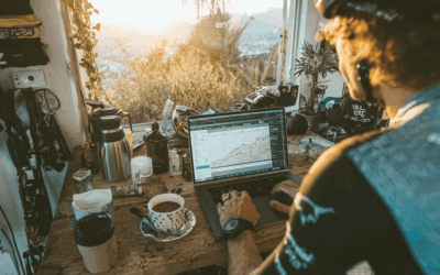
🌍 Navelo is a web app that helps cyclists plan smarter and ride easier.
Upload your route.
Enter your kilometers ridden or plan ahead.
Instantly see nearby cafés, shelters, supermarkets, water points and more, right along your route.

How is Navelo different?
🗺️ Google Maps and Komoot show you the world.
Navelo shows you exactly what you need, based on your route and distance.
-
No endless searching.
You don’t need to zoom, scroll, or guess where to stop. -
No random detours.
Navelo only shows places near your planned route — not 10 kilometers off-course. -
No complicated setups.
Just upload your GPX, enter your kilometers, and find food, water, or shelter instantly. -
Built for cyclists, not cars.
Navelo is designed for riders who want to stay in their flow — whether you’re out for 50 or 500 kilometers.
")
🔥 Get early access
Be the first to ride smarter with Navelo.
Sign up with your name and email to join our Early Access list.
You’ll get notified as soon as the app goes live — and be among the first to try it out.
Plan your next ride in minutes with Navelo.
Be one of the first to ride smarter with Navelo.
Blog
Let’s create cycling content together 🚴🎥
At LeMore Media, we’ve been creating photo and video content for years, helping brands and events tell their stories….

Looking for cycling & bikepacking micro-influencers
At Navelo, we believe that long rides should be about freedom, not about worrying where to stop for water, food, or…
How to open GPX file in google maps (and easily add rest stops with navelo)
You’ve got a GPX file and want to see it in Google Maps. Maybe you also want to mark a coffee stop, a water tap, or a…